Torres del Paine, Chile, March 2001 |
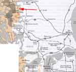
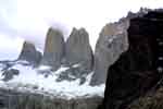
The Torres del Paine area is simply gorgeous, with the tower rising high above their surroundings. Click on the map below to see where this national park is.
To view a larger image, click on the picture you want to see. Return to this page by clicking on "Back".

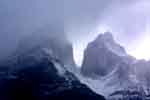
Driving up, we got our first glimpses of the Torres:
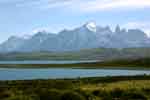
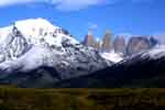
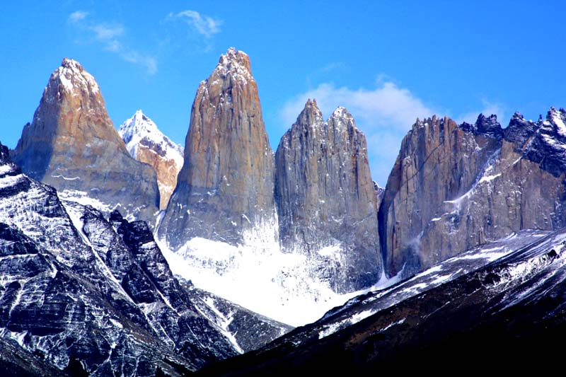
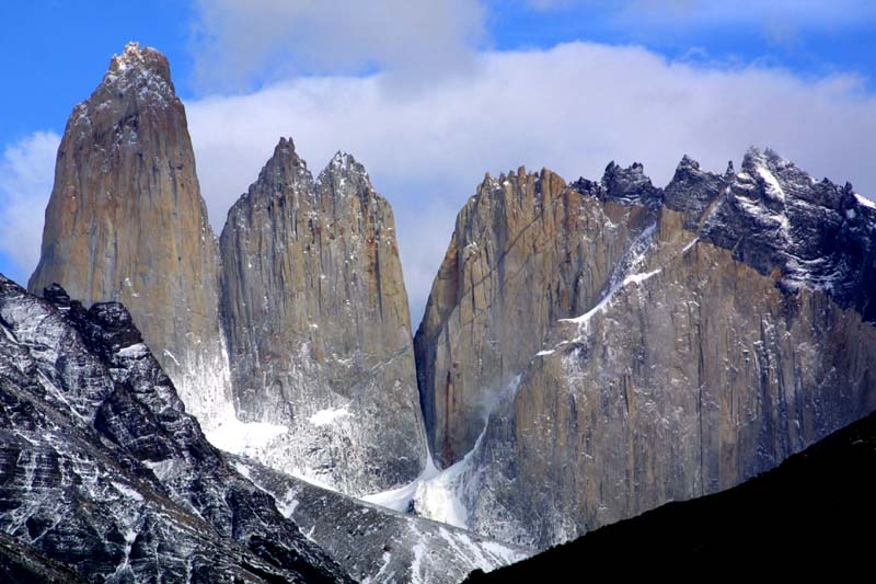
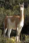
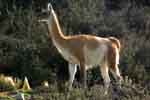
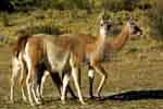
On the way, we saw guanacos. Guanacos (pronounced gwa-na-kos, equal emphasis on all three parts), are in the same family as llamas, alpacas, and vicuñas. Guanacos are not domesticated, they are tolerated on the estancias, and neither the meat nor the pelt is useful.
The next day, we hiked up to the glacial moraine below the Torres. At the top the wind must have been gusting to fifty miles per hour or more. It was miserable up there, and Steve and I independently decided to start the descent before the rest of the group.
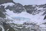
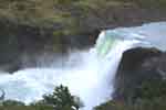
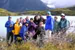
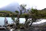
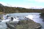
That night it snowed where we had been, a foot or more. We drove to Lago Grey to see the glacier and icebergs. On the way we stopped at where Lago Nordenskjöld flows into Lago Pehoe. Here's what we saw.
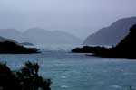
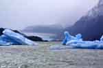
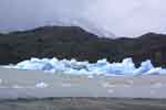
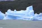
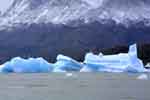
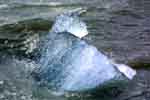
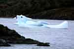
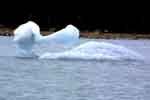
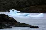
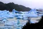
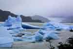
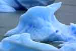
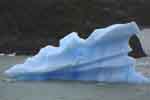
There is a glacier at the northwest end of Lago Grey. As the glacier breaks up, the icebergs are blown to the other end by the prevailing winds. Here's what it looks like.
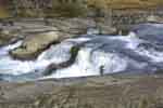
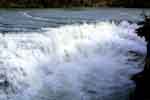
The following day was our last full day in Patagonia. On the way out of Torres del Paine, we came across this waterfall.
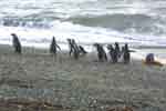
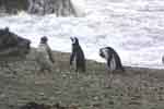
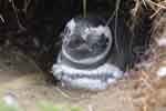
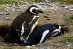
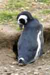
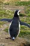
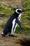
We detoured on the way to Punta Arenas to see the penguin preserve. Here's a few penguin pix...
