February 2000 Costa Rica Trip |
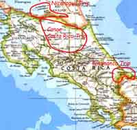
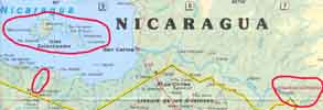
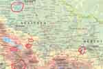
My trip to Costa Rica was really three trips: Talamanca, Nicaragua, and Canoe Costa Rica. You can click on the map below, or on any other image to see an enlarged view. IMPORTANT NOTE: Unlike the rest of my pages, clicking on a picture will create a new window. To resume browsing, close the new window (back won't do anything).

The Talamanca Trip was to the southeast part of the country, in an area including the Bri Bri indian reserve. This area, at the lower right corner of the above map, is characterized by lowland rain forest. We spent part of the time headquartered in Suretka where we canoed the Uren and Coen rivers, visiting indian villages upstream on both . From Bambu, we went upstream on the Yorkin river to the village of the same name, where we spent the night, before canoeing downstream back to Bambu.
Finally, we went to the Asacodi rain forest preserve, where we hiked.
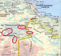
Transport was interesting. There are very few roads in Talamanca, so we got towed upstream in motorized dugouts (and sometimes had to rope the boats up rapids). Members of the Bri Bri tribe are allowed one dugout. They select the tree they want, get permission from the tribe, and then the dugout maker fells it, roughs it out with a chainsaw, and finished it with an adze.
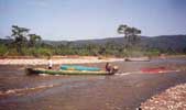
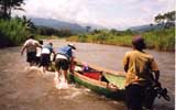
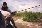
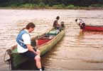
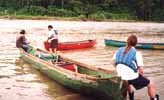
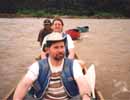
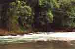
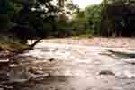
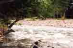
The rivers sometimes have strainers. For non-whitewater people, a strainer is a tree or other object which is stuck on the river bed, and which does what its name says -- it strains everything out that comes through it. Strainers are dangerous because the debris caught in them forces the water to flow down, and a swimmer hitting one will be sucked underwater. Probably for a very long time. We try to give strainers a wide berth...
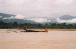
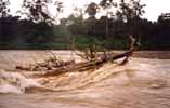
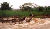
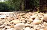
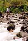
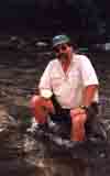
Seems like people leave their used trees all over the river. This gravel bar housed a tree which looked innocent enough until you look closely -- it's well defended! Your webmaster is in the center with the red hat. My red hat has probably reached the Caribbean by now, and is, alas, lost.
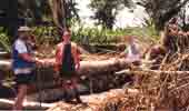
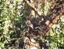
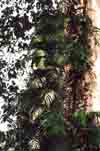
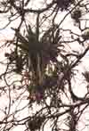
Here we are near the village of Coroma on the Coen river. These pictures may give you some idea of just how big rain forest trees get. The trees are covered with plants called epiphytes. These are not parasites, and do not damage the trees -- philadendron is an example of an epiphyte.
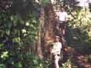
Our fearless expedition leader, Jim Walker, is shown below doing one of the things he does best...
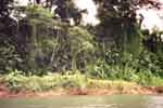
The Yorkin river, which runs up to the indian village of the same name, starts out as mild and pretty river as we go upstream.
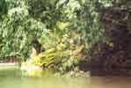
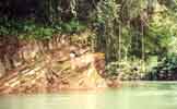
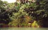
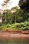
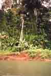
Progressing upstream, the river becomes more interesting. Bear in mind that what we went up, we had to go back down. The canoes were hauled up the day before these pictures were taken. The rapids frequently required us to get out of the dugout so that it could make it up.
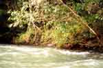
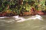
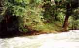
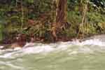
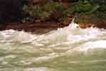
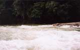
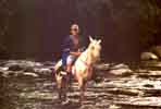
Not everyone gets around by boat. This picture was taken just a bit upstream from Yorkin above the rapids.
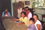
These are some scenes from the village of Yorkin, and the immediate area. The first three are of the cookhouse where we were fed. Our hostess is cooking on a typical wood fire. Her children are in the next image.. The stoves are clever in that the wood is perhaps three feet long and is fed deeper into, or further out of the fire in order to control the temperature. Sadly, the child on the right was born without ears, and may possibly never receive medical attention for his problem.
The last image is of the Womens Association. The Bri Bri have a matriarchal society, and the women shown here govern the village. What's puzzling to me, though, is that this seems to apply only at the village level -- the tribe is governed by an association, the president of which is male..
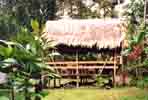
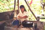
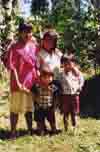
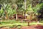
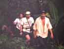
Our guide for hiking around Yorkin is Freddie. I'm not clear what his position in the village is, but in spite of the fact that the village is governed by the women's association, Freddie seems to be in the decision making loop. In the woods, Freddie always carries his machete. When he's not taking a whack at something with it, it serves as a walking stick.
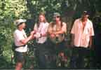
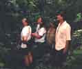
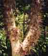
Typical of lowland rain forest, the area abounds with plants. The second plant from the left is one of many medicinal plants -- in this case a tea is made from it which is used by the Bri Bri to treat snake bites. The plants also have defensive mechanisms -- woe to the hiker who grabs this tree to steady himself.

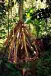
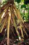
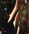
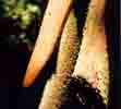
The "walking" palm is unusual because it is able to move itself about one foot per year in order to get more sunlight. It moves by extending new roots in the direction it wants to move, and letting the old roots on the other side die and decay.
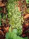
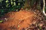
Leafcutter ants are prevalent in the rain forest. The columns of ants, each ant carrying a piece of leaf, may carry the leaves as far as one kilometer to their nest. There is specialization; some ants serve as traffic copic cops and guards. These have long pincers, and are used by the indians to bite wounds closed, much as we'd use stiches. A nest is shown on the right. The nests can be hundreds of square feet of surface area.
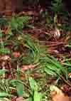
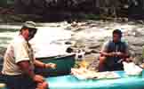
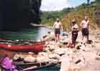
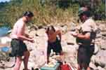
Breakfast at Tiffany's? Nope, but it is lunch in Panama on the way back down river from Yorkin (the Yorkin river forms part of the Costa Rica/Panama border). After lunch, Peter and his son Fox relax in the river.
We finished up the trip hiking in the Asacodi reserve. The reserve is formed from a group of farms where the owners agreed to not cut the rain forest any further, and in some cases, to reforest sections which had been cut.
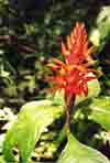
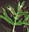
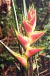
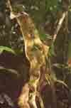
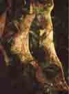
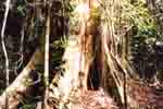
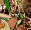
The first image is a bird-of-paradise plant. Next is a black vulture on top of a leaf cutter ant nest. The second two are of a climbing plant called monkey ladder, which is used medicinally for scorpion bites. The tree shown below is typical of rain forest trees in the way it creates a massive root system. Even so, in periods of very heavy rains, the trees sometimes fall over in the loose soil. The image on the right is of a poison frog. There are several species of poison frogs -- the neon green that we see here, a solid neon red, and various shades of plain brown and black. The secretions are not particulary poisonous to the touch, but are deadly if they enter the blood stream (ie. on an arrowhead).
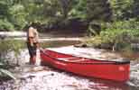
From Solitiname, we went down the Papaturro river, then back to San Carlos. We then took a boat to El Castillo on the San Juan river. We rented another boat there and went to the Bartolo river where we hiked, and then went upstream (and then canoed back). The canoe on this trip was a folding boat shown below.
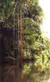
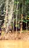
These shots are from the Bartolo river. We roped the folding boat up the river before coming down the rapiid. In the middle are shots of lianas dropping to the water. These are neither roots nor parasites, but coexist with the host trees. The flowers are wild morning glories.
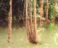
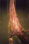
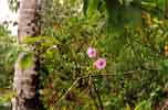
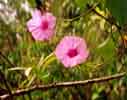
When we were coming back down the river we spotted these two gentlemen filling their dugouts with sand (sand deposits, except on river banks, are rare). The are what you might call an overloaded boats...
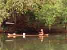
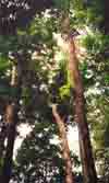
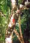
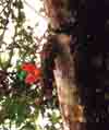
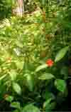
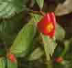
We took three hikes in the rain forest in Monte Verde. This set of pictures may give you a feel for what a highland rain forest looks like (this area is up about 5,000 feet). The two images on the right are of a plant called 'hot lips'.
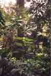
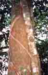
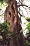
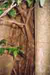
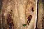
I mentioned that epiphytes don't damage the host tree. The strangler fig, shown below, is not a true parasite. It will fully envelope a living tree, ultimately grow higher than the host and block off the host's light. It doesn't actualy harm the host until the sunlight is blocked. The host then dies and decays, leaving only the strangler fig.
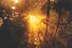
We went for a late afternoon hike. The sunset was something to behold.
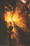

We were supposed to hike down from Monte Verde to El Castillo on Lake Arenal. A short way down, Carlos and I ran into horse drivers who told us that the river crossings on the way down were impassible due to heavy rains. So instead of a 4 hour, 7 mile hike, we had a 7 hour, 12 mile hike with about 3000 feet of climb, ending up at Rio Chiquito. The views on the way down, however, were sometimes spectacular. The information turned out to be totally false.
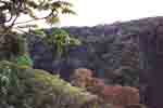
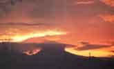
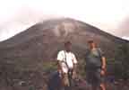
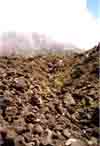
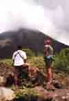
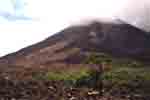
The volcano Arenal, which grew from almost nothing to seven or eight thousand feet over the last 25 years, is an interesting sight. The first image, taken on the way back to La Fortuna after a canoe trip, shows the volcano poking up through the clouds. The next day we climbed over the new lava field. The mountain was grumbling and groaning, venting steam and smoke, and occasionally tossing out rocks. Yoru trusty webmaster is in his (dearly departed) red cap, standing next to Carlos.
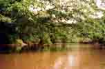
Starting from the lake at Caño Negro, we paddled down the Rio Frio. The trip took us to within about 10 miles of Los Chiles, where we had earlier taken the Rio Frio further downstream to San Carlos, Nicaragua. Rio Frio was the only stretch of flat water we did. The following pictures are from that journey.
The last two days were spent on Rio Sarapiqui and Rio Sardenal. The former is a class 3 river where we put in, and the Sardenal was a first decent which turned out to be a class 2+. I was mostly too busy paddling to take many pictures, but here's what I've got, including a canoe top lunch on the Sardenal. I'm sorry to say that I dumped once on each river. After the class 3 stretch of the Sarapiqui, I had a mental lapse and didn't see a hole until I was about on top of it. I panicked, and fell out of the boat. On the Sardenal, I didn't cut a turn sharply enough and had an argument with a downed tree on the bank. It won.
