South Jersey (VAY) to Mt. Pocono (MPO), October 22, 2001 |
To view a larger image, click on the picture you want to see. Return to this page by clicking on "Back".
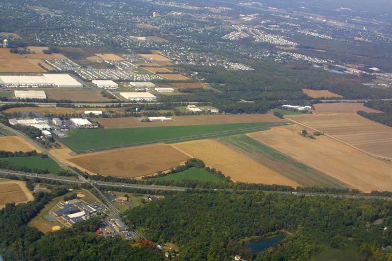
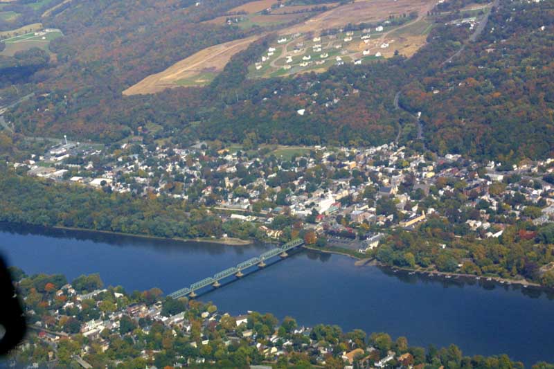
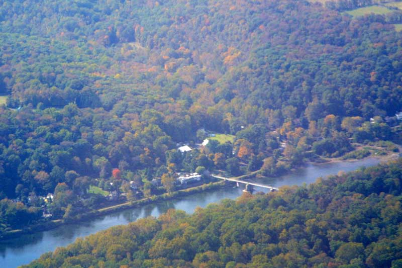
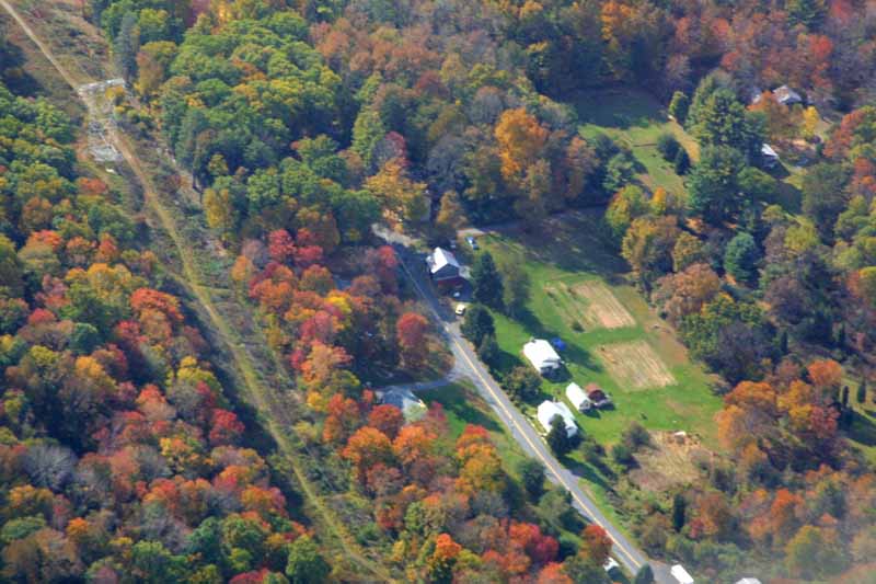
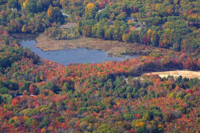
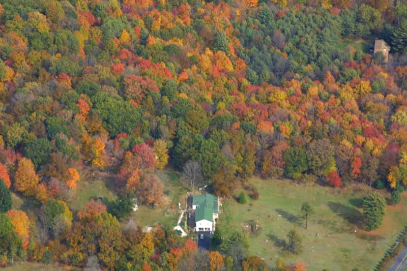
Oh, I needed a break! We decided to fly to Mt. Pocono, and then to the Delaware Water Gap. After leaving the pattern at VAY, we passed over the Rancocas, past the provate Inductotherm airport (owned by the Rowan that Rowan College is named after), then over the Delaware near the Burlington Bristol bridge, then into Bucks County. The 5th picture shows New Hope on the left, and Lambertville, NJ on the right. The houses on the top of the hill are where David's Yellow Brick Toad restaurant, used to be. Then we passed by the Frenchtown bridge and Lake Nockamixon in northern Bucks County.
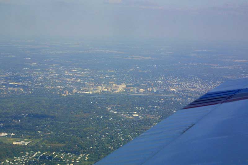
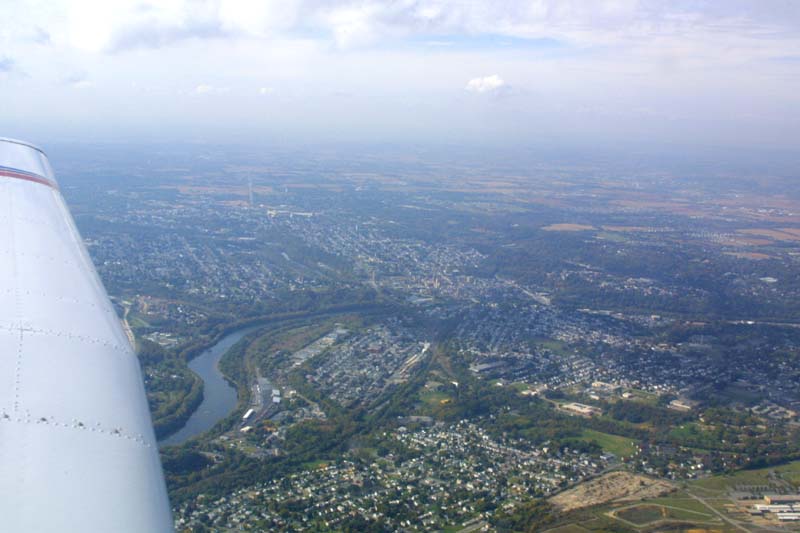
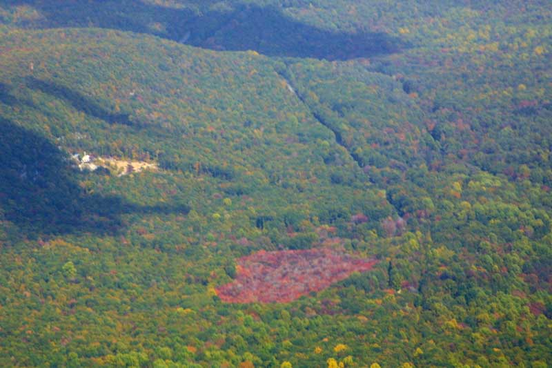
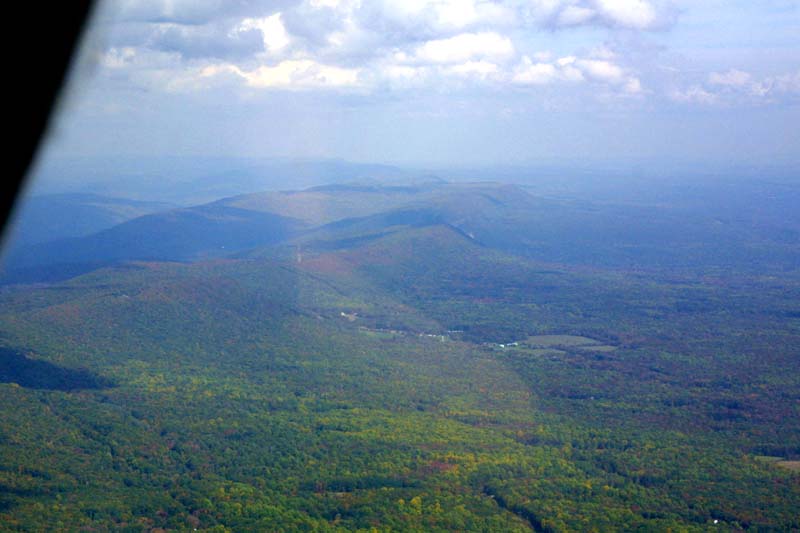
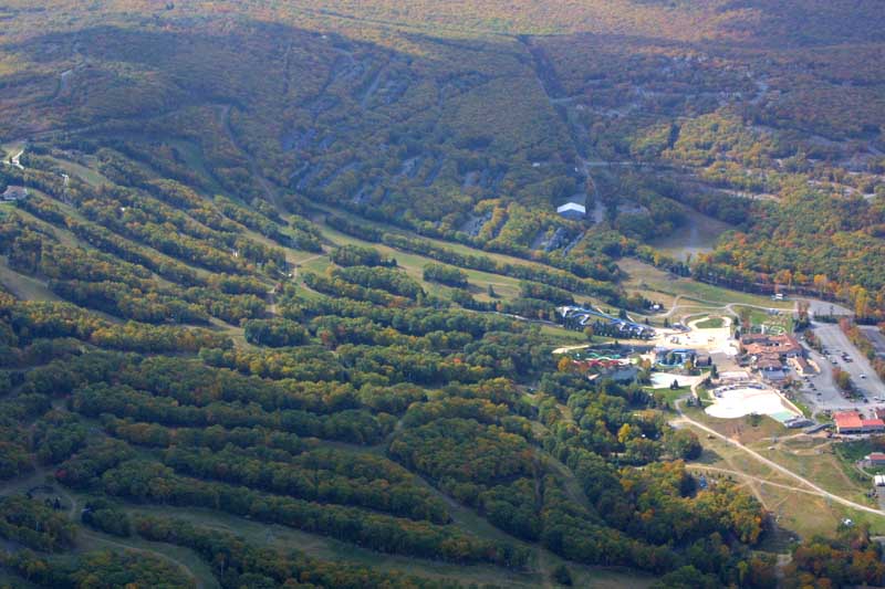
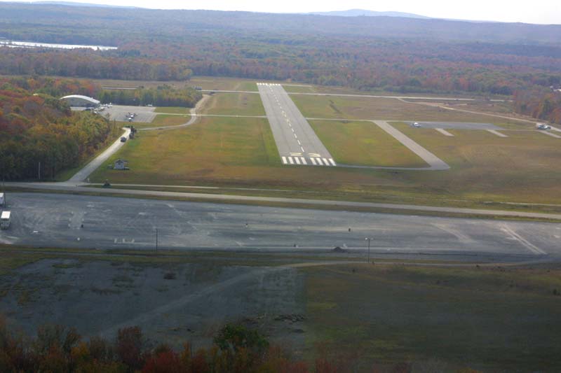
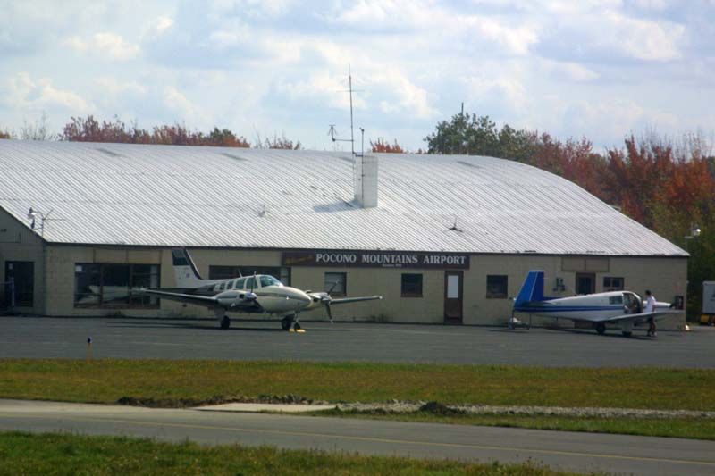
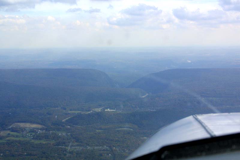
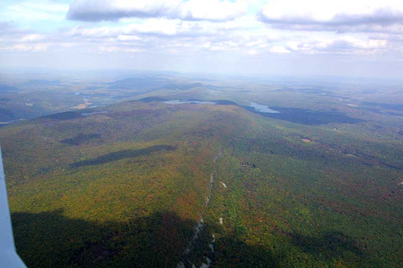
Soon the Allentown/Bethlehem/Easton area was below us. Our route took us in to the Poconos at Camelback (seen below) and then into MPO.

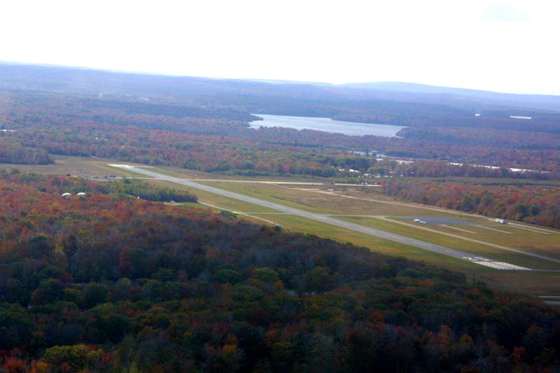
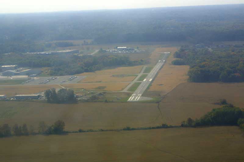
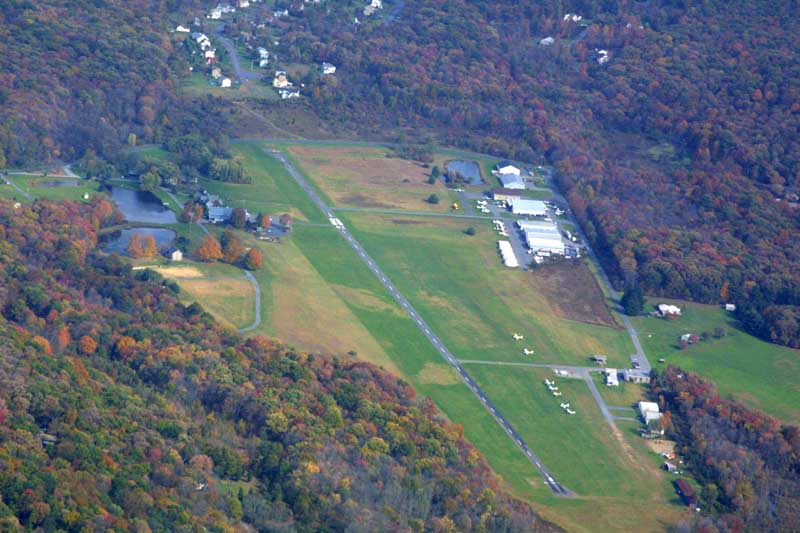
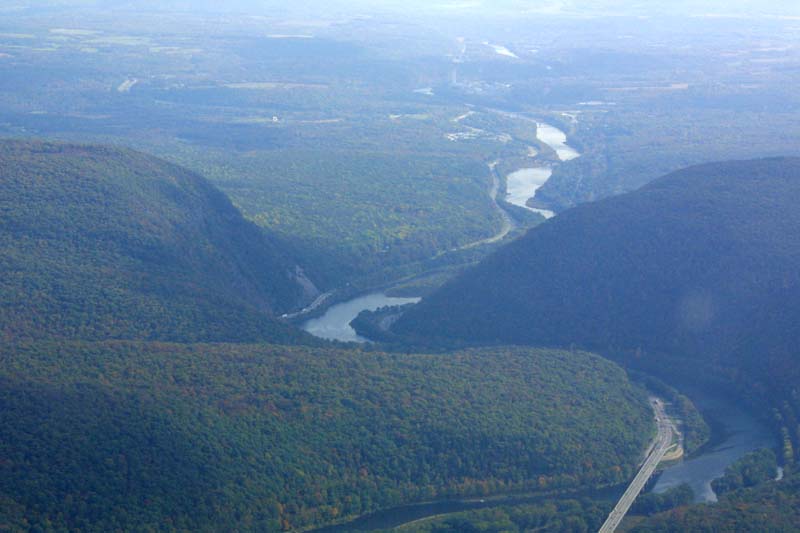
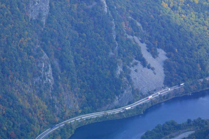
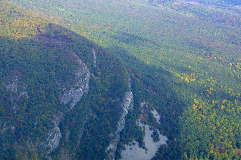
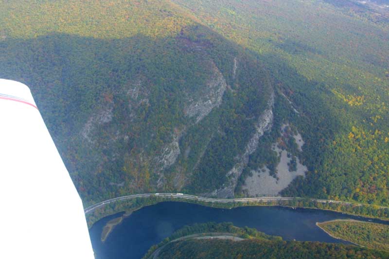
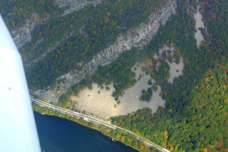
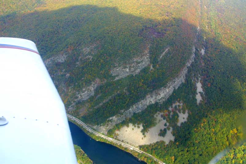
Next we headed to the Water Gap. Along the way, we passed East Stroudsburg airport (N53). If you look carefully, you'll note two arrows on the upper third of the runway which point towards the center of the runway. This runway has a displaced threshold-- you can taxi and take off on the upper third of the runway (that is, behind the arrows), but cannot land until you cross the arrows.


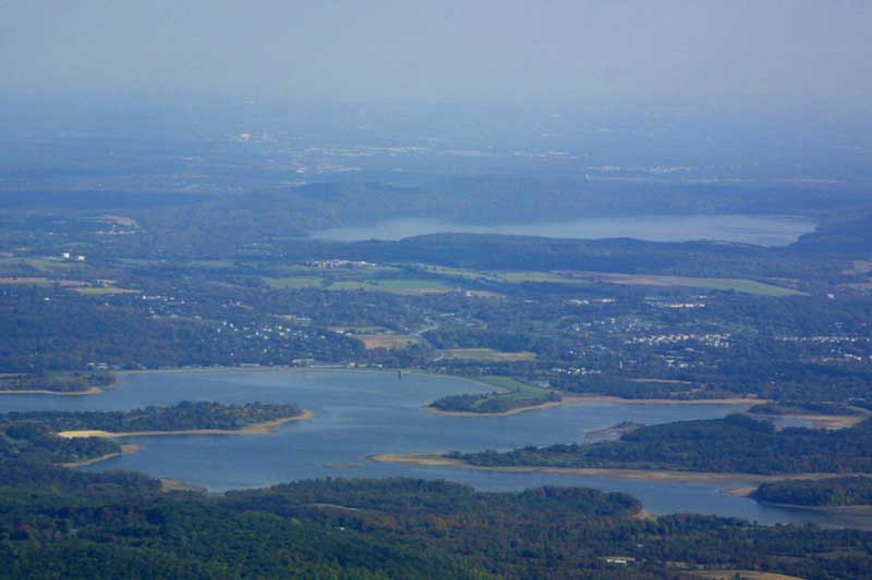
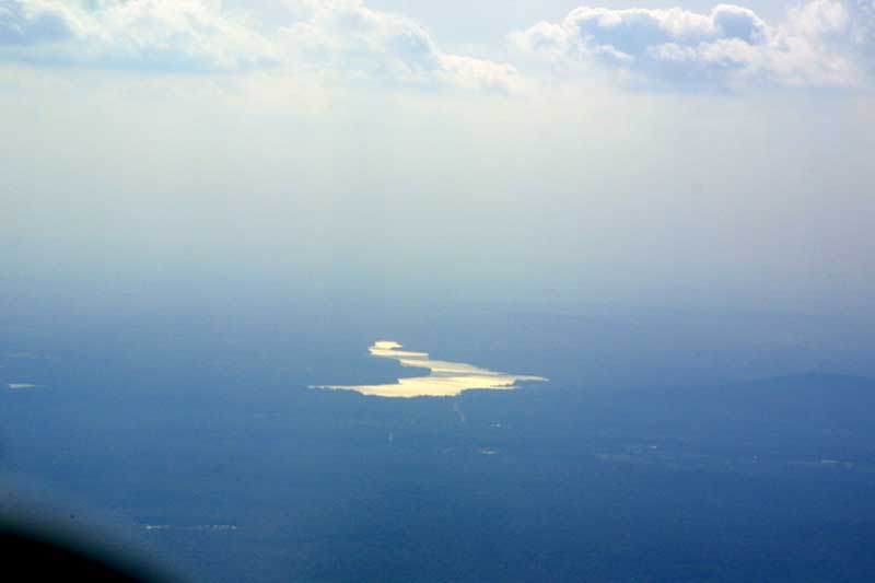
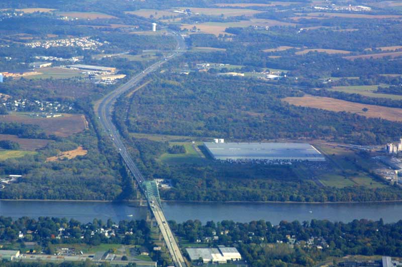
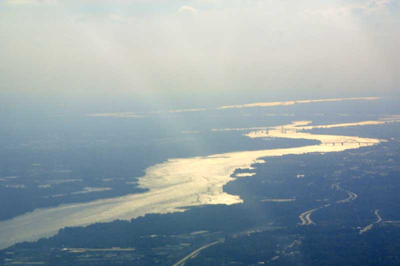
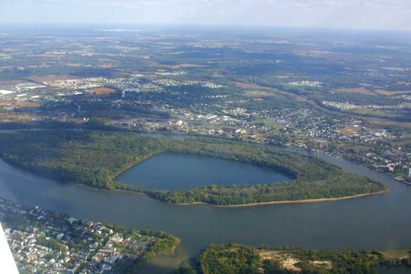
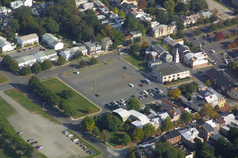
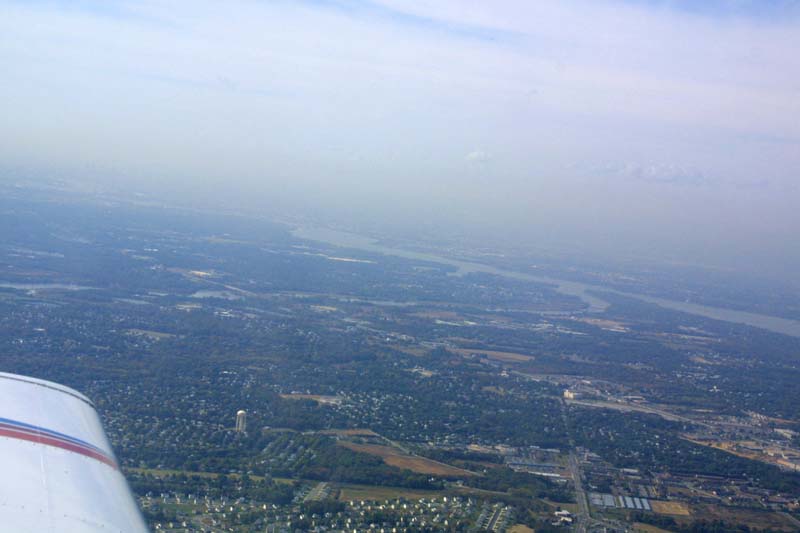
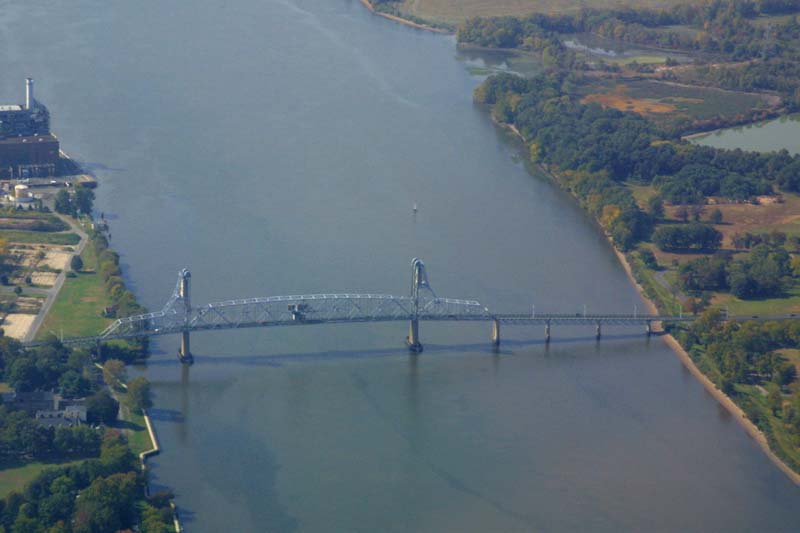
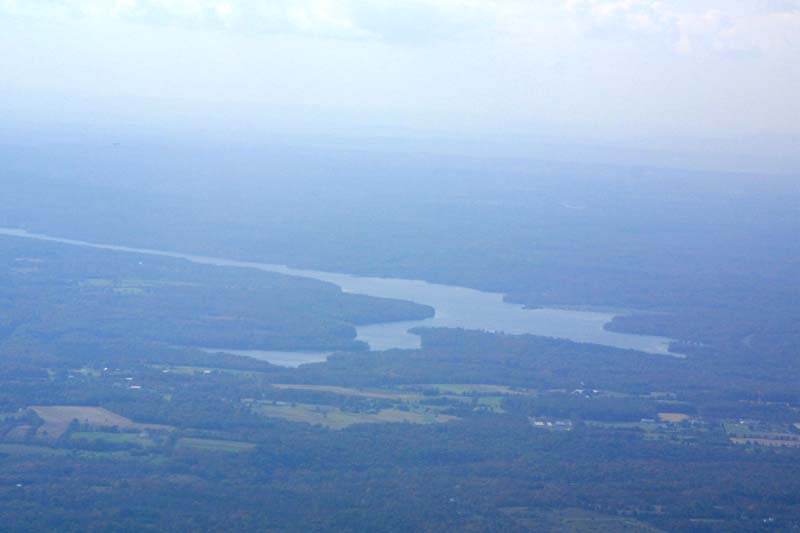
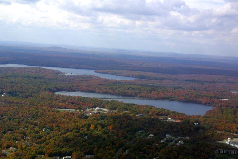
After passing through the Water Gap, Lake Hopatcong (NJ) was off the left wing. At about that point, the lower part of the Delaware was visable way off in the distance. We passed to the west of Trenton, past the NJ Turnpike Bridge, then to the west of Burlington Island and Burlington City. The "closeup" is of the old part of Burlington, and you can see the Cafe Gallery restaurant opposite the unpaved parking lot. A few minutes later we crossed Rt. 38 and landed at VAY. It was a most enjoyable day, and cleansed my soul. Now I'm ready to get back to work again.