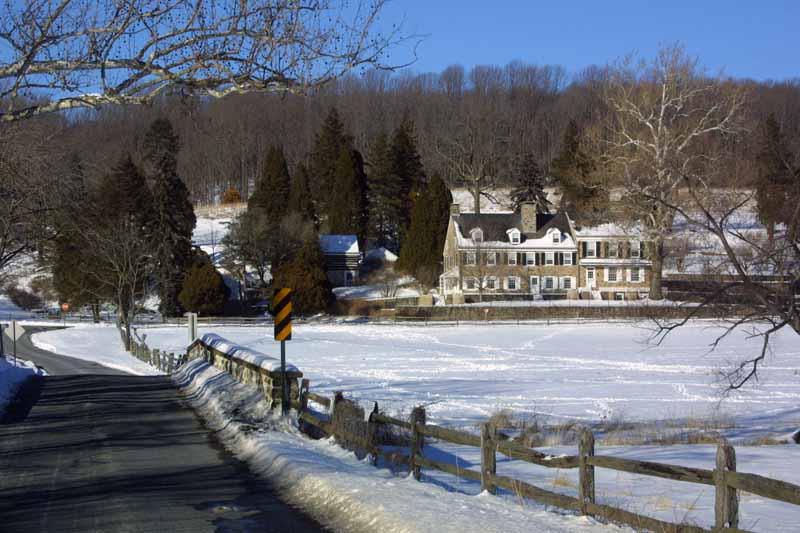
Views of the new neighborhood, January 27 and 31, 2005 |
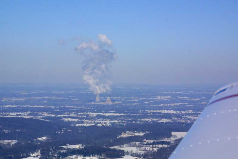
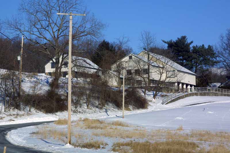
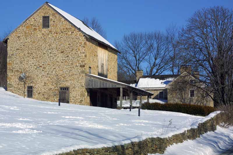
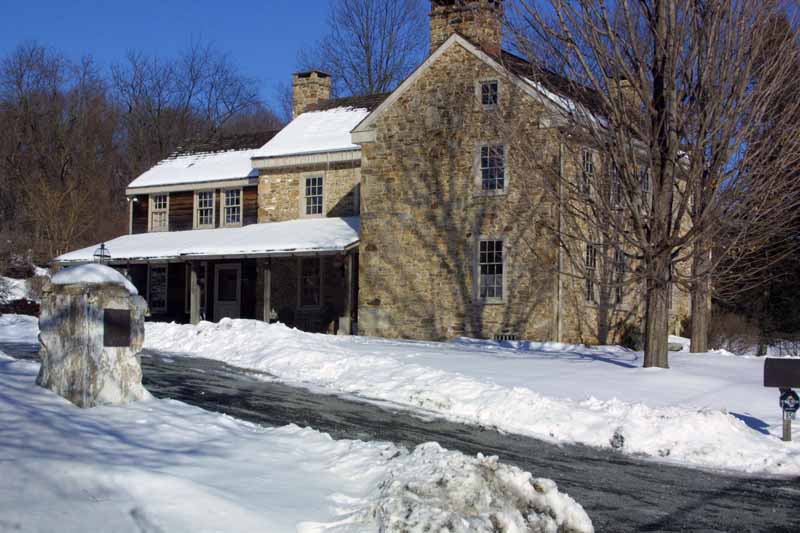
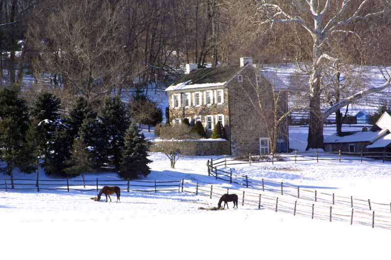
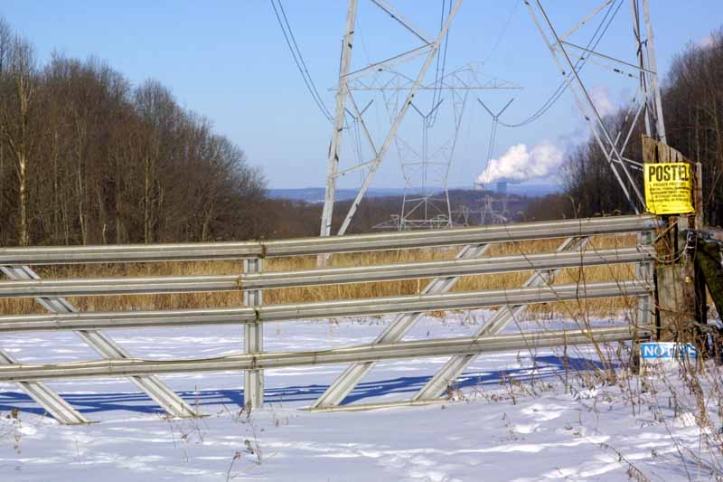
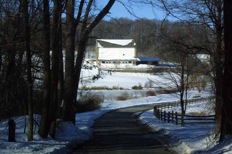
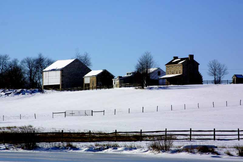
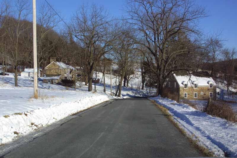
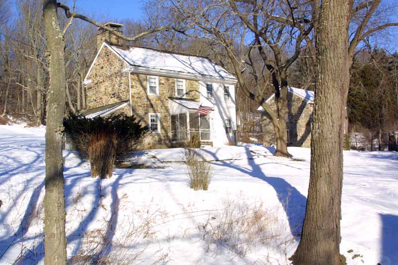
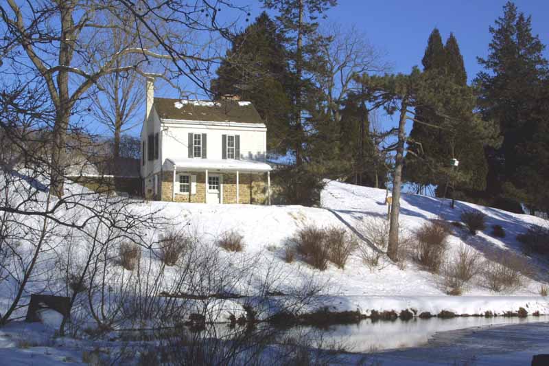
I took a drive on the 27th and captured the following pictures of our neighbors' houses. The one with the cooling
towers takes explanation. From the top of the hill, the power line cut points straight at the Limerick
power plant...
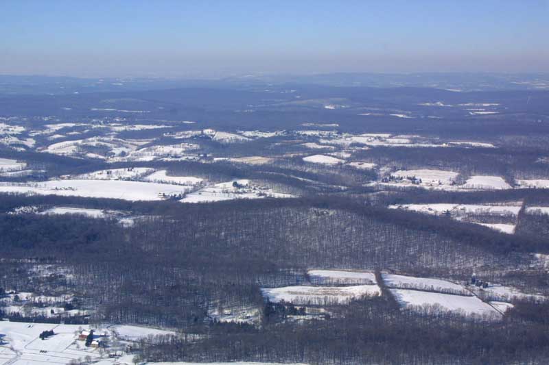
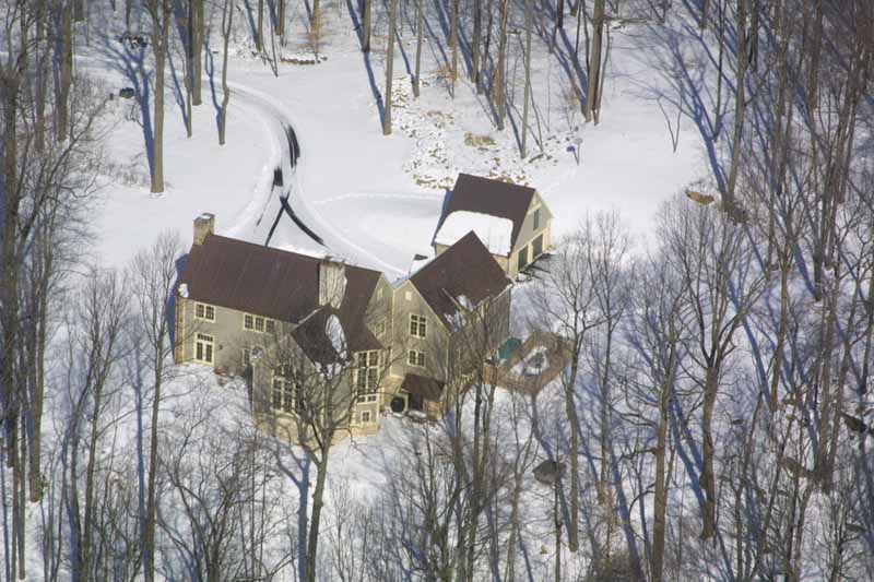
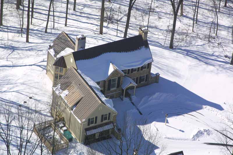
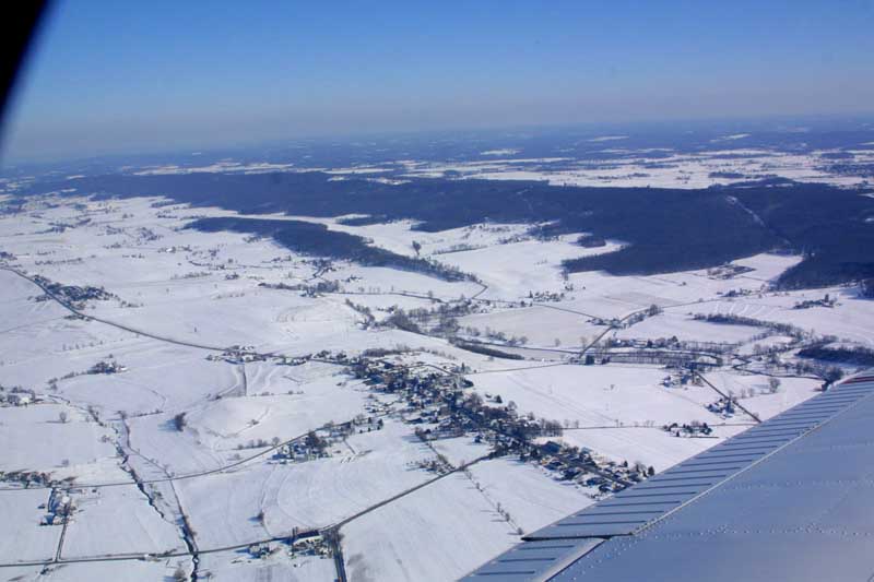
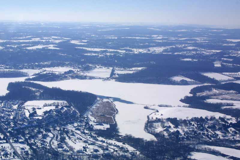
On the 31st, I had a helicopter lesson. I had my camera with me because I was going to fly the Cherokee out afterward and do some pictures. John suggested I take the camera on the lesson, and he'd fly while I was shooting. The closeups of the house were taken from the R22, and the rest were from the Cherokee. The very first picture shows a neighbor's farm in the foreground, and the Poconos in the background. If you look at the pattern of four fields in the lower right corner, look directly above the upper left field in that group, and if you look closely, you'll see our house at the top of the first hill.
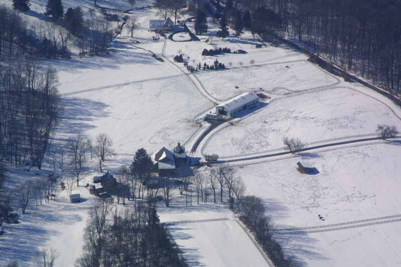
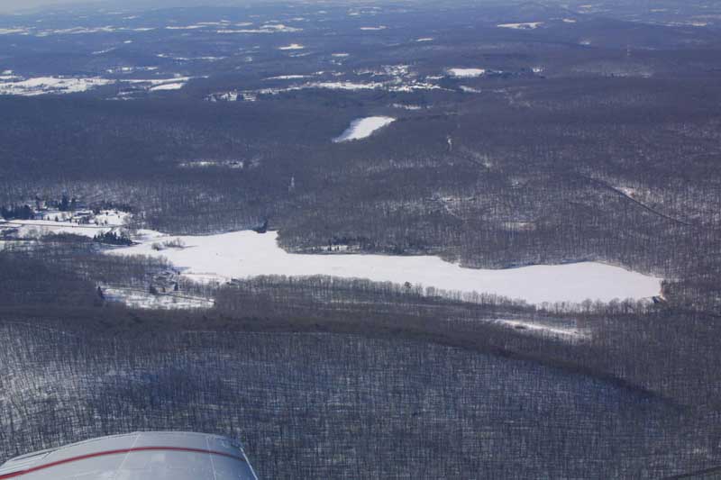
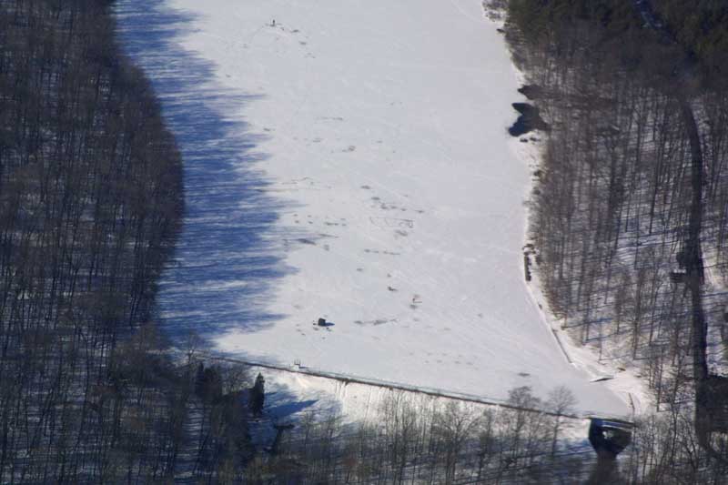
The remaining pictures are of our neighbor's farm, the Limerick power plant, two pictures of French Creek State Park (in the second you can see an ice fishing hut and a couple of people on the ice), a wide view over Lancaster County looking towards where we live, and finally, Marsh Creek State Park.